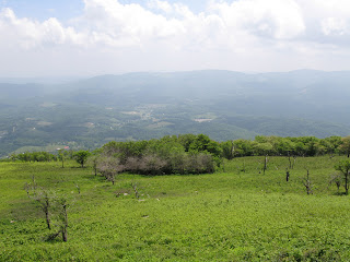
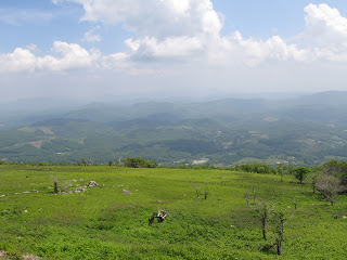
We drove east on the Highway 107, which quickly turns into Whitetop Road. Whitetop Road wanders though some gorgeous bottom land before heading up to Whitetop Mountain—the second highest point in Virginia (5,520'), and the highest to drive to. The first stop was a newly constructed overlook. This overlook is identified as a Va. Birding and Wildlife Trail site, at a point where the Iron Mountain Trail goes to Skull Gap. The day was hazy, with a threat of rain in the air For more information on Whitetop Mountain: http://en.wikipedia.org/wiki/whitetop_Mountain
 After leaving the overlook, we continued on to the Elk Garden, a trailhead for the Appalachian Trail situated on the Smyth – Grayson County Line. Elevation here is about 4600'. Heading in the direction of the grasses and horse trail will take you through Deep Gap to Mt. Rogers, about 4 miles one way. We chose to head in the other direction on the A-Trail, heading to Whitetop Mountain (a place we have driven to in the past). This is 3 miles one way, before walking towards the summit. One can continue along Whitetop Mountain Road to a national forest road to the summit of Whitetop Mountain. Whitetop Mountain Road continues south and ends at Rt 58, west of Damascus.

 The A-Trail toward Whitetop Mountain is well maintained, fairly level as it progresses along the ridge, and quite green and lush. Only when we got near Whitetop did we enter the alpine environment found at these high elevations. Some of the more interesting sights along way was the incidences of brown bracket lichen—particularly with moss growing out of it. I have only seen white bracket lichen in past hikes. From Whitetop Mountain, you can easily see into both North Carolina and Tennessee.


